The Map Folded Wrong in the Glove Compartment
The map lived in the glove compartment, folded wrong.
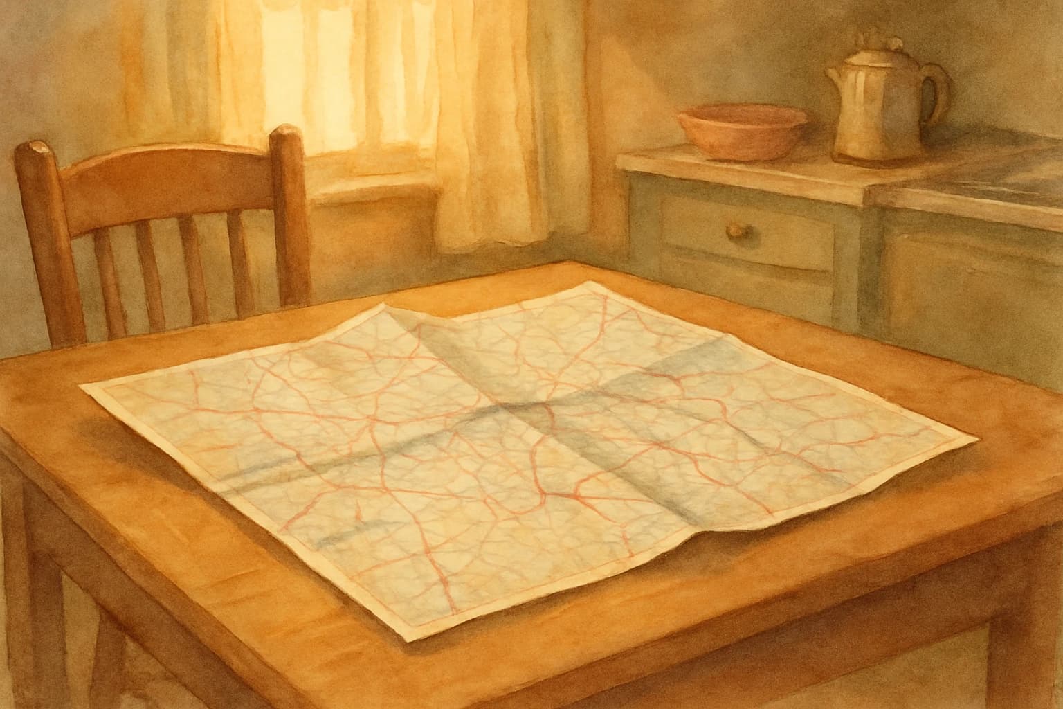
Not the way it came folded from the gas station rack. Wrong in its own particular way, developed over years of being opened in a moving car and refolded in a hurry before it blew out the window. The creases went in four different directions. The cover was soft at the corners from being grabbed and pulled so many times. Some of the smaller county roads had disappeared into the fold lines and were simply gone, white space where a road had been, and you worked around this the way you work around a word you can't spell -- by finding another route, or by guessing.
This was the American road map. Every car had one. Most cars had three or four, from different states, different years, some of them outdated enough that the new interstate hadn't been printed yet and you had to treat the blank stretch as provisional. Before any trip of significant distance, someone took the map out of the glove compartment and spread it across the kitchen table the night before, or spread it across their lap in the passenger seat while the car was still in the driveway, and the arguing began.
The arguments were real
Not vague disagreements about directions in the abstract. Pointed arguments about particular things, and they started before the car moved.
The first argument was about which map to use. If you were driving from Ohio to Tennessee, your husband wanted the Ohio map because that was where you were starting and he liked to see the whole picture from the origin point. Your wife wanted the Tennessee map because that was where you were going and she preferred to think about the destination. This argument was unresolvable because both positions were reasonable, and it was also not really about maps.
The second argument was about the fold. Someone had to refold the map to show the relevant section without showing all the irrelevant parts, and the map did not cooperate with this. A road map opened to its full size was roughly the dimensions of a dining room table, unsuitable for a car interior. You had to fold it down to a manageable panel, which required decisions about which panels to show, and the panels never quite lined up with where you needed to go. The fold that showed Cincinnati also showed a large portion of Lake Erie, which was not helpful. The fold that showed Memphis required you to hold the map in a posture that blocked the dashboard.
The third argument was about scale. The state map showed the general route but not the local turns. The local turns required the county detail inset, which was printed in a corner of the state map at a scale too small to read without reading glasses, and someone always forgot the reading glasses.
What the map actually asked of you
The road map required preparation. You couldn't use it cold, in motion, under pressure. You had to look at it the night before. You had to trace the route with your finger, count the miles between towns, identify the junction where you got off the main highway and pick up the county road. You had to think about the trip in advance and hold a picture of it in your head before you ever put the key in the ignition.
This was not efficient. It was, however, real engagement with the geography you were about to travel through. People who navigated by road map had a working mental picture of the region they were crossing. They knew approximately where they were relative to everything else -- the river to the east, the state line to the south, the mountains that were coming in about forty miles. The map gave you a spatial relationship to the landscape that the GPS voice does not give you, because the GPS voice tells you what to do next and nothing more.
The passenger navigating by map was a genuine participant in the trip. They were reading terrain and calling turns and tracking elapsed distance against the odometer and doing mental math about arrival times. This was work. It also gave the passenger something to do besides watch the road and resent the driver.
What nobody remembers fondly
The map was bad at night. Trying to read a road map in a moving car after dark, with only the overhead dome light, which your father hated turning on because it bothered his eyes, was genuinely difficult. You held it up toward whatever light came through the window. You squinted at the county lines. You got it wrong.
The map was also bad at the moment you most needed it -- the unexpected detour, the closed road, the town that turned out to be fifteen miles further than the map suggested. It couldn't tell you about the bridge that was out or the highway construction that had shifted the route since 1971. It was a snapshot of the road network at the time of printing, and the road network had kept changing.
And the refolding. You could spend six minutes at a rest stop trying to refold a road map back into something that would fit in the glove compartment, failing, giving up, and stuffing it in a shape that was neither the original fold nor any recognizable alternative. The glove compartment ended up housing something that had the density of a small loaf of bread and the organizational utility of a paper bag.
The arguments the map started were real arguments. Not all of them were productive. Some of them were about the map. Some of them were about things that had nothing to do with the map, and the map was just the occasion for them. Families in cars have always needed something to argue about before the trip properly begins, and the map served this function reliably for decades. Whether that was good depends on the family.
What GPS did and didn't fix
The GPS voice eliminated the preparation requirement. You no longer had to look at the route the night before or trace it with your finger or hold a mental picture of the landscape in your head. You type in the address and the voice tells you what to do. This is unambiguously better for finding a particular street in an unfamiliar city at night. The GPS is correct more often than the map, faster to query, and easier to hold in a moving car.
What it didn't fix is that it removed the passenger from the trip. The navigator's job -- reading the map, calling the turns, tracking the distance -- was eliminated. The passenger now sits there with nothing to do except exist in the car, which is a different thing from participating in it. The arguments that the map started were sometimes the most sustained conversation a family had on a long drive, because the map gave them something concrete to disagree about, and concrete disagreements generate more words than silence does.
GPS also eliminated the prior engagement with geography. People who navigate exclusively by GPS have a thinner spatial relationship to the places they've been. They know how to get somewhere but not where it is relative to anything else. This is a real loss, though a quiet one, and it mostly shows up as a vague inability to give directions to someone without reaching for a phone.
The maps are still out there
Somebody still prints them. Rand McNally publishes a road atlas. Gas stations in rural areas still sell state maps. The American Automobile Association mails them to members. They are not gone, and for certain purposes -- planning a road trip in advance, getting a sense of a region's shape, figuring out what's within a hundred miles of where you're staying -- they remain genuinely useful in ways the phone screen doesn't quite replicate.
If you have children young enough not to have grown up with road maps, it's worth unfolding one on the kitchen table before the next long drive. Not because it's more efficient. Because the process of looking at it, arguing about the route, and tracing your finger across the geography of the thing is a different kind of engagement with where you're going. The argument about which map to use and how to fold it is not a problem to be solved. It's the beginning of the trip.
Did your family have a designated map folder, or did the map just end up in whatever shape it ended up? Do you remember a wrong turn that the map either caused or failed to prevent? Share your story in the comments -- we're listening.
Get a new story every Sunday morning.
One email a week. No spam. Unsubscribe anytime.